


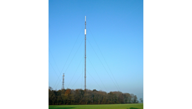
Located in the east of England, the Atmospheric Measurement Station at Tacolneston, Norfolk, is ideally positioned to observe air masses which have travelled across central England.
Tacolneston also receives air flow from London located 150 km to the south west of the site. In this way Tacolneston is optimally located to observe and constrain emissions from the UK. Tacolneston is part of the DECC Network, which also includes measurements from Mace Head (Co. Galway, Ireland), Ridge Hill (Herefordshire, UK), Bilsdale (North Yorkshire, UK) and Heathfield (East Sussex, UK). This enables emissions from separate regions of the UKs devolved administration to be constrained (England, Wales, Scotland and N. Ireland).
Measurements of CO2 and CH4 are made using a Picarro G2301 cavity ringdown spectroscopy analyser. A Los Gatos Research (LGR) Enhanced Performance N2O/CO analyser (model no. 913-0015-810) has also been operational at the site since 2016. Both of these instruments utilise laser-based optical absorption techniques, enabling frequent measurement of each species (i.e. measurements every few seconds). Over 50 other trace gases are measured using a Medusa GC-MS instrument, including key greenhouse gases and ozone depleting substances. Since 2020, measurements of 222Rn have also been made using an ANSTO (Australian Science and Technology Organization) analyser, providing additional context regarding the recent history of the air sampled at Tacolneston.
Station designation:
Coordinates:
Air intake elevation:
Station PI:
Postal address:
School of Chemistry, University of Bristol,
Cantocks Close, Bristol, BS8 1TS
